MAPIOLLT (Mapio Lleisiau’r Tir) is a project to show people the power of OSM as a tool for everyday use.
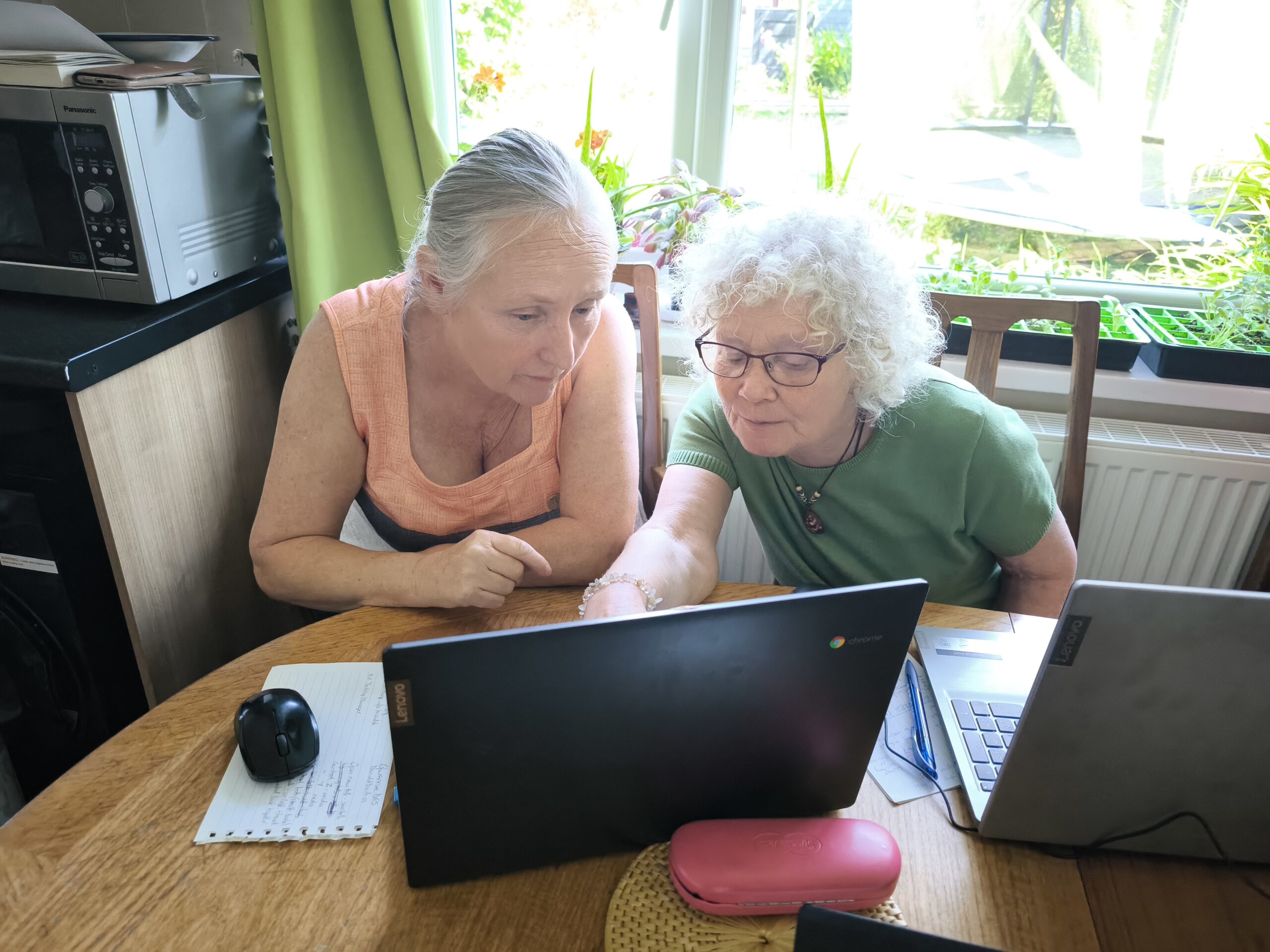
We intend to help communities share interests and connect with each other through community history, to highlight resource networks and community assets, and reinforce Welsh language history in our uplands. It’s a map owned by the community, and we are grateful to Her Arfor for funding the training of local business, farms and other community groups.
Teifi, Ystwyth and Tywi valleys community mapping project
This project explores innovative solutions to the challenges of rural depopulation. By training the local community how to map, Mapping Land Voices hopes to give you the tools and agency to make your own maps. This collaborative map aims to support the use and visibility of the Welsh language, communicate local priorities and concerns and to celebrate the unique qualities of the area.
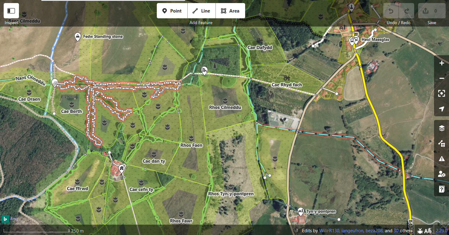
DIY map of tree cover, field names, farm and family points of interest: Will Isaacs, Geufron Farm

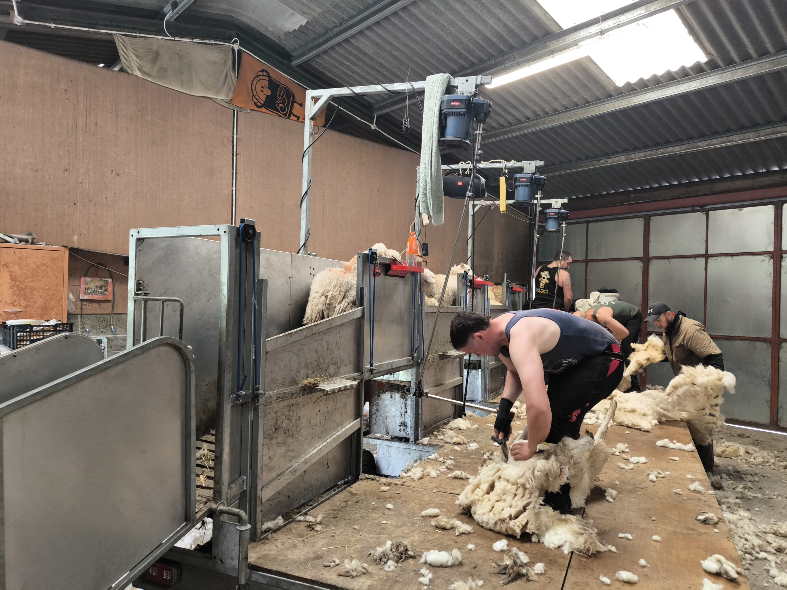 Field mapping/surveying helps to verify data and add further detail.